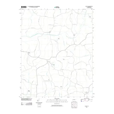
2010 Map of Luray
USGS Topo · Published 2010About this map
The North Fork Forked Deer River and its accompanying wetlands dominate this Henderson County landscape, defining the rural geography between the local hubs of Luray and Huron. This 2010 survey records a high density of ancestral burial grounds, including the Mifflin Cemetery, Unity Cemetery, and Mills-Darden Cemetery, which serve as vital markers for genealogical research in the region.
Find a feature on this map
57 named features on this map. Tap any name to fly to it.
Don’t see what you’re looking for? This feature index may not catch every label — zoom into the map to look around manually.
Map Details
Editions of this 2010 Luray Map
This is the sole edition of this map. No revisions or reprints were ever made.
Other maps of this area
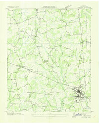
1936 · Lexington
USGS Topo · 1:24,000
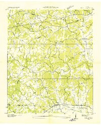
1936 · Enville
USGS Topo · 1:24,000
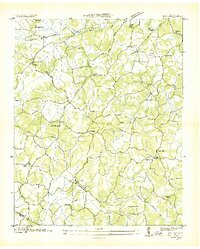
1936 · Life
USGS Topo · 1:24,000
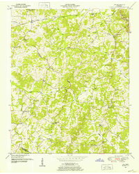
1950 · Life
USGS Topo · 1:24,000
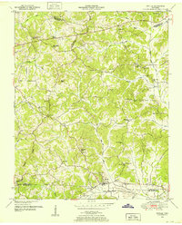
1950 · Enville
USGS Topo · 1:24,000
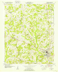
1950 · Lexington
USGS Topo · 1:24,000
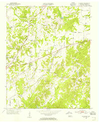
1953 · Claybrook
USGS Topo · 1:24,000
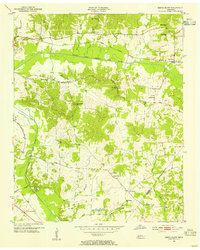
1953 · Beech Bluff
USGS Topo · 1:24,000
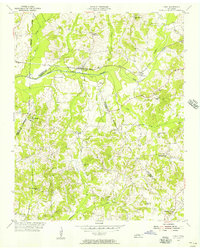
1955 · Luray
USGS Topo · 1:24,000
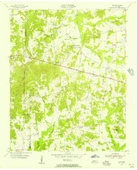
1955 · Juno
USGS Topo · 1:24,000