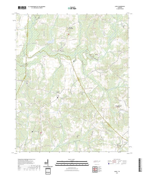
2022 Map of Luray
USGS Topo · Published 2022About this map
Luray sits at the nexus of several historic West Tennessee travel routes, defined by its position near the winding North Fork Forked Deer River. The landscape is etched with small-scale agricultural life and family lineage, as evidenced by the dense distribution of burial grounds throughout the countryside. These sites, including the New Mifflin Cem near Mifflin and the Mills-Darden Cem to the northeast, serve as vital landmarks for those tracing the family histories of the Henderson, Madison, and Chester County borderlands.
Find a feature on this map
81 named features on this map. Tap any name to fly to it.
Don’t see what you’re looking for? This feature index may not catch every label — zoom into the map to look around manually.
Map Details
Editions of this 2022 Luray Map
This is the sole edition of this map. No revisions or reprints were ever made.
Other maps of this area

1936 · Lexington
USGS Topo · 1:24,000

1936 · Enville
USGS Topo · 1:24,000

1936 · Life
USGS Topo · 1:24,000

1950 · Life
USGS Topo · 1:24,000

1950 · Enville
USGS Topo · 1:24,000

1950 · Lexington
USGS Topo · 1:24,000

1953 · Claybrook
USGS Topo · 1:24,000

1953 · Beech Bluff
USGS Topo · 1:24,000

1955 · Luray
USGS Topo · 1:24,000

1955 · Juno
USGS Topo · 1:24,000