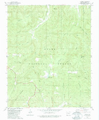
1980 Map of Lurton
USGS Topo · Published 1988About this map
Lurton sits as a primary crossroads in the southern portion of this Arkansas survey, where the winding roads meet near Spence Junction. This high-elevation landscape is defined by the high plateaus of Tarlton Flats and the deep incisions of the Ozark National Forest. The geography reveals a network of ridges and isolated peaks, such as Sams Throne and Hudson Mountain, which overlook a dense drainage system of creeks and branches.
Find a feature on this map
31 named features on this map. Tap any name to fly to it.
Don’t see what you’re looking for? This feature index may not catch every label — zoom into the map to look around manually.
Map Details
Editions of this 1980 Lurton Map
3 editions found
Other maps of this area

1879 · Washington
USGS Topo · 1:62,500

1887 · Smyrna
USGS Topo · 1:62,500

1889 · Treat
USGS Topo · 1:62,500

1889 · Marshall #3
USGS Topo · 1:62,500

1892 · Marshall
USGS Topo · 1:125,000

1894 · Marshall
USGS Topo · 1:125,000

1901 · Marshall
USGS Topo · 1:125,000

1932 · Treat
USGS Topo · 1:62,500

1933 · Mt Judea
USGS Topo · 1:62,500

1934 · Treat
USGS Topo · 1:62,500