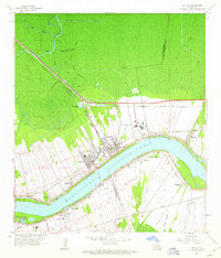
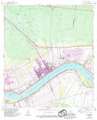
1962 Map of Lutcher
USGS Topo · Published 1963About this map
The Mississippi River curves sharply through this riverbend landscape, anchoring a series of historic settlements and industrial sites in the early 1960s. Towns like Gramercy, Lutcher, and Paulina line the northern bank, where the Illinois Central and Kansas City Southern railroads parallel the river's path. On the opposite shore, Vacherie and Wallace represent the rural character of St. James Parish, connected to the north by a Toll Ferry crossing.
Find a feature on this map
42 named features on this map. Tap any name to fly to it.
Don’t see what you’re looking for? This feature index may not catch every label — zoom into the map to look around manually.
Map Details
Editions of this 1962 Lutcher Map
5 editions found
Other maps of this area

1892 · Lac Des Allemands
USGS Topo · 1:62,500

1892 · Mount Airy
USGS Topo · 1:62,500

1892 · Donaldsonville
USGS Topo · 1:62,500

1892 · Thibodaux
USGS Topo · 1:62,500

1932 · Lac Des Allemands NW
USGS Topo · 1:31,680

1932 · Thibodaux NE
USGS Topo · 1:31,680

1932 · Lac Des Allemands NE
USGS Topo · 1:31,680

1939 · Donaldsonville
USGS Topo · 1:62,500

1940 · Lagan
USGS Topo · 1:31,680
1941 · Lac Des Allemands
USGS Topo · 1:62,500