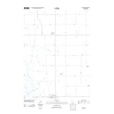
2013 Map of Luther
USGS Topo · Published 2013About this map
Luther and the northern extent of Madrid anchor this central Iowa landscape, where agricultural research and river valley topography intersect. The Iowa State Experimental Farm occupies a significant portion of the terrain between these two settlements, highlighting the region's long-standing connection to academic and practical farming advancements. To the west, the Des Moines River carves a winding path, joined by several tributaries including Richardson Br and Eversoll Cr. The map details a well-defined grid of section roads like 270th St and R Ave that crisscross the prairie, occasionally interrupted by the more irregular paths of the river valley. Notable recreational and community landmarks such as Camp Laurie and the small settlement of Garden Prairie are documented alongside vital crossings like Big Creek Bridge and Big Creek Bridge Two.
Find a feature on this map
63 named features on this map. Tap any name to fly to it.
Don’t see what you’re looking for? This feature index may not catch every label — zoom into the map to look around manually.
Map Details
Editions of this 2013 Luther Map
This is the sole edition of this map. No revisions or reprints were ever made.
Other maps of this area

1911 · Madrid
USGS Topo · 1:62,500

1911 · Slater
USGS Topo · 1:62,500

1912 · Ames
USGS Topo · 1:62,500

1913 · Slater
USGS Topo · 1:62,500

1914 · Madrid
USGS Topo · 1:62,500

1914 · Ames
USGS Topo · 1:62,500

1916 · Boone
USGS Topo · 1:62,500

1954 · Waterloo
USGS Topo · 1:250,000

1954 · Des Moines
USGS Topo · 1:250,000

1955 · Waterloo
USGS Topo · 1:250,000