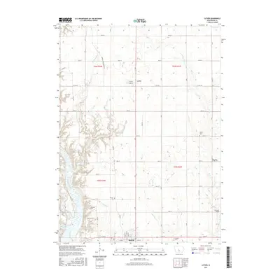
2015 Map of Luther
USGS Topo · Published 2015About this map
Madrid and Luther anchor this central Iowa landscape, where the agricultural grid meets the wooded drainages of the Des Moines River. The terrain is defined by a dense network of small tributaries including Big Creek, Prairie Creek, and Murphy Branch, which carve through the farmland. For local historians and genealogists, this 2015 survey is particularly valuable for its mapping of numerous rural burial grounds, such as Hull Cemetery, Fairview Cemetery, and Cassel Cemetery. Significant transportation markers include Big Creek Bridge Two and the path of Swede Point Road, while the northern edge of Madrid reveals a transition from traditional street names like North Main Street to modern highway corridors.
Find a feature on this map
60 named features on this map. Tap any name to fly to it.
Don’t see what you’re looking for? This feature index may not catch every label — zoom into the map to look around manually.
Map Details
Editions of this 2015 Luther Map
This is the sole edition of this map. No revisions or reprints were ever made.
Other maps of this area

1911 · Madrid
USGS Topo · 1:62,500

1911 · Slater
USGS Topo · 1:62,500

1912 · Ames
USGS Topo · 1:62,500

1913 · Slater
USGS Topo · 1:62,500

1914 · Madrid
USGS Topo · 1:62,500

1914 · Ames
USGS Topo · 1:62,500

1916 · Boone
USGS Topo · 1:62,500

1954 · Waterloo
USGS Topo · 1:250,000

1954 · Des Moines
USGS Topo · 1:250,000

1955 · Waterloo
USGS Topo · 1:250,000