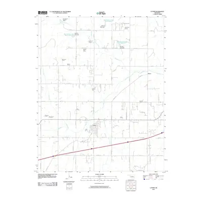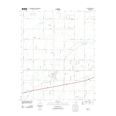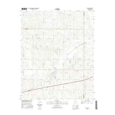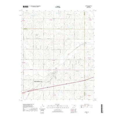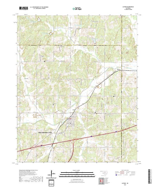
2022 Map of Luther
USGS Topo · Published 2022About this map
The town of Luther serves as the central hub of this modern survey, situated along the Deep Fork river where the terrain transitions between Oklahoma, Logan, and Lincoln counties. The landscape is defined by the winding paths of Coon Cr and Wildhorse Cr, alongside a series of flood-control structures including Bear Fall Coon Cr Site 26 Reservoir and Bear Fall Coon Cr Site 21 Reservoir. This area reflects a mix of traditional agricultural land and modern residential expansion near the fringe of Oklahoma City, particularly around the Rustic Acres development.
Find a feature on this map
91 named features on this map. Tap any name to fly to it.
Don’t see what you’re looking for? This feature index may not catch every label — zoom into the map to look around manually.
Map Details
Editions of this 2022 Luther Map
This is the sole edition of this map. No revisions or reprints were ever made.
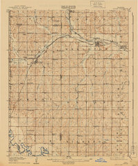
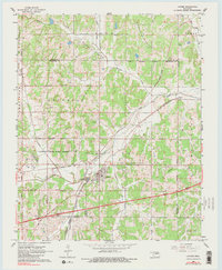
Historical Maps of Oklahoma City Through Time
7 maps found