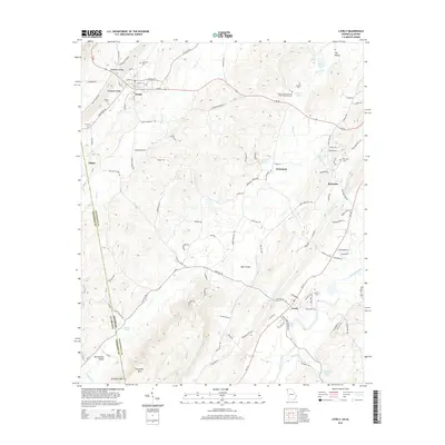
2014 Map of Lyerly
USGS Topo · Published 2014About this map
Shinbone Ridge and the broad Shinbone Valley define the western reaches of this Chattooga County landscape, where the settlements of Menlo and Alpine sit along the base of the mountain. The terrain transitions from these high ridges toward the Chattooga River valley in the southeast, passing through Back Valley and the smaller community of Perennial. The map documents a rural network of springs and family-named landmarks, including Moseley Springs, Gamble Spring, and the Pleasant Green Church Memorial Monument. The industrial and agricultural heritage of the region is anchored by Lyerly, where the Lyerly Dam and Lyerly Cemetery mark the historic town center. Further east, the community of Berryton is positioned near Raccoon Creek, illustrating a settlement pattern deeply tied to the local water systems and valley floor geography.
Find a feature on this map
116 named features on this map. Tap any name to fly to it.
Don’t see what you’re looking for? This feature index may not catch every label — zoom into the map to look around manually.
Map Details
Editions of this 2014 Lyerly Map
This is the sole edition of this map. No revisions or reprints were ever made.
Other maps of this area

1886 · Ringgold
USGS Topo · 1:125,000

1886 · Rome
USGS Topo · 1:125,000

1886 · Stevenson
USGS Topo · 1:125,000

1892 · Ringgold
USGS Topo · 1:125,000

1892 · Stevenson
USGS Topo · 1:125,000

1893 · Fort Payne
USGS Topo · 1:125,000

1895 · Stevenson
USGS Topo · 1:125,000

1898 · Rome
USGS Topo · 1:125,000

1898 · Fort Payne
USGS Topo · 1:125,000

1899 · Rome
USGS Topo · 1:125,000