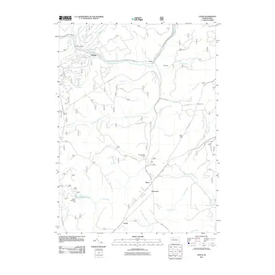
2011 Map of Lynch
USGS Topo · Published 2011About this map
Tionesta Creek winds through the northern portion of this landscape, connecting the small settlements of Hastings and Lynch. The map reveals a legacy of transit and resource extraction, notably preserved in the Old Railroad Grade that parallels the creek near Lynch. Further south, the terrain is defined by numerous watercourses including Bluejay Creek and Salmon Creek, which feeds into Beaver Meadows Lake near the Beaver Meadows Dam. Local activity is concentrated at small crossroads and family-named points like Watson Farm, Iron City, and Byromtown. The presence of the Blue Jay Spring Recreation Area and numerous forest roads such as Job Corps Rd and Goat Farm Rd suggests a landscape managed for both timber and outdoor recreation, where the names of small runs and hollows like Lindsey Hollow provide critical clues for local genealogy.
Find a feature on this map
46 named features on this map. Tap any name to fly to it.
Don’t see what you’re looking for? This feature index may not catch every label — zoom into the map to look around manually.
Map Details
Editions of this 2011 Lynch Map
This is the sole edition of this map. No revisions or reprints were ever made.
Other maps of this area

1918 · Loleta
USGS Topo · 1:62,500

1934 · Kane
USGS Topo · 1:48,000

1935 · Sheffield
USGS Topo · 1:48,000

1936 · Marienville
USGS Topo · 1:48,000

1939 · Kane
USGS Topo · 1:62,500

1940 · Hallton
USGS Topo · 1:48,000

1941 · Sheffield
USGS Topo · 1:62,500

1941 · Marienville
USGS Topo · 1:62,500

1943 · Hallton
USGS Topo · 1:62,500

1947 · Cherry Grove
USGS Topo · 1:24,000
Featured Places
- Sheffield Township, PA
- Jenks Township, PA
- Howe Township, PA
- Pigeon, Howe Township
- Hastings, Howe Township