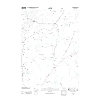
2013 Map of Lynch
USGS Topo · Published 2013About this map
Tionesta Cr and its numerous tributaries, including Bluejay Cr, carve through the forested landscape of Warren County. In the early 21st century, the area is characterized by a network of forest roads and remote settlements such as Hastings, Lynch, and Pigeon. The legacy of industrial transport is visible in the Old Railroad Grade winding north of Lynch, while the Blue Jay Spring Recreation Area and Beaver Meadows Lake indicate the region's importance for public land use.
Find a feature on this map
54 named features on this map. Tap any name to fly to it.
Don’t see what you’re looking for? This feature index may not catch every label — zoom into the map to look around manually.
Map Details
Editions of this 2013 Lynch Map
This is the sole edition of this map. No revisions or reprints were ever made.
Other maps of this area

1918 · Loleta
USGS Topo · 1:62,500

1934 · Kane
USGS Topo · 1:48,000

1935 · Sheffield
USGS Topo · 1:48,000

1936 · Marienville
USGS Topo · 1:48,000

1939 · Kane
USGS Topo · 1:62,500

1940 · Hallton
USGS Topo · 1:48,000

1941 · Sheffield
USGS Topo · 1:62,500

1941 · Marienville
USGS Topo · 1:62,500

1943 · Hallton
USGS Topo · 1:62,500

1947 · Cherry Grove
USGS Topo · 1:24,000
Featured Places
- Sheffield Township, PA
- Jenks Township, PA
- Howe Township, PA
- Pigeon, Howe Township
- Hastings, Howe Township