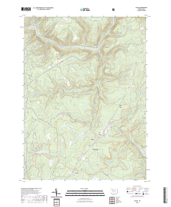
2023 Map of Lynch
USGS Topo · Published 2023About this map
The Allegheny National Forest encompasses this landscape, where the waters of Tionesta Creek and its many tributaries carve through the plateau. Small settlements like Lynch and Pigeon dot the map, connected by a network of forest roads and an Old Railroad Grade that speaks to the region's industrial past. The area around Byromtown and Penoke is particularly rich in recreational infrastructure, featuring numerous paths such as the Penoke Bike Trl and Salmon Creek Loop Trl. Genealogists may find interest in the Frost Cem located near the junction of Bluejay Creek and Rock Run, while landmarks like Bald Hill and Lindsey Hollow provide clear reference points for the area's complex topography. This map documents a modern balance between resource management and public trail access within Pennsylvania's northern woods.
Find a feature on this map
60 named features on this map. Tap any name to fly to it.
Don’t see what you’re looking for? This feature index may not catch every label — zoom into the map to look around manually.
Map Details
Editions of this 2023 Lynch Map
This is the sole edition of this map. No revisions or reprints were ever made.
Other maps of this area

1918 · Loleta
USGS Topo · 1:62,500

1934 · Kane
USGS Topo · 1:48,000

1935 · Sheffield
USGS Topo · 1:48,000

1936 · Marienville
USGS Topo · 1:48,000

1939 · Kane
USGS Topo · 1:62,500

1940 · Hallton
USGS Topo · 1:48,000

1941 · Sheffield
USGS Topo · 1:62,500

1941 · Marienville
USGS Topo · 1:62,500

1943 · Hallton
USGS Topo · 1:62,500

1947 · Cherry Grove
USGS Topo · 1:24,000
Featured Places
- Sheffield Township, PA
- Howe Township, PA
- Penoke, Jenks Township
- Hastings, Howe Township
- Iron City, Howe Township