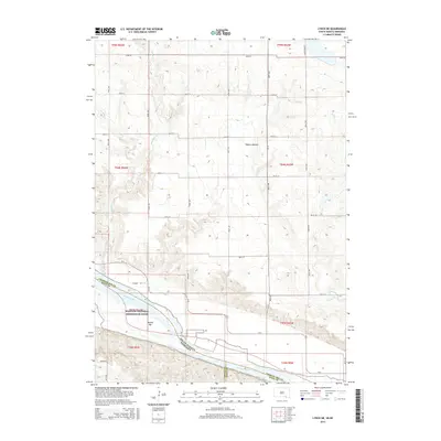
2015 Map of Lynch NE
USGS Topo · Published 2015About this map
The Missouri River corridor serves as the primary geographical focal point of this borderland survey, where the river serves as the boundary between South Dakota and Nebraska. The landscape is defined by the Missouri National Recreation River designation, protecting the characteristic braiding and sandbars of this reach, including named features like Willow Bar and the low-lying Tobacco Bottom. North of the river, a grid of section-line roads such as 393rd Ave and 305th St crisscrosses the plains, providing access to rural lands drained by several watercourses including Slaughter Cr, Mosquito Cr, and Spring Cr. This document provides a clear view of the rural township structure before modern development significantly altered the traditional prairie road network, preserving the layout of routes like Eggers Rd and Kafka Lake Rd.
Find a feature on this map
39 named features on this map. Tap any name to fly to it.
Don’t see what you’re looking for? This feature index may not catch every label — zoom into the map to look around manually.
Map Details
Editions of this 2015 Lynch NE Map
This is the sole edition of this map. No revisions or reprints were ever made.
Other maps of this area

1950 · Verdel
USGS Topo · 1:24,000

1950 · Lynch
USGS Topo · 1:24,000

1950 · Monowi
USGS Topo · 1:24,000

1952 · Monowi
USGS Topo · 1:24,000

1955 · Mitchell
USGS Topo · 1:250,000

1955 · O'Neill
USGS Topo · 1:250,000

1959 · O'Neill
USGS Topo · 1:250,000

1959 · Mitchell
USGS Topo · 1:250,000

1964 · Wagner
USGS Topo · 1:24,000

1964 · Lynch NE
USGS Topo · 1:24,000