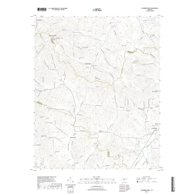
2019 Map of Lynchburg West
USGS Topo · Published 2019About this map
Booneville sits at the intersection of Lynchburg Rd and Booneville Rd, serving as a central point in this transition from the ridges of Moore County into the drainage basins of Lincoln County. The landscape is defined by a dense network of hollows, including Possumtrot Hollow, Bagley Hollow, and Mullins Hollow, which channel numerous waterways like the W Fork Mulberry Cr and New Herman Fork. This 2019 survey documents a deeply rooted rural community, marked by dozens of family and church burial grounds such as Old Mount Herman Cem, Lyon Cem, and Baxter Cem. The presence of Mount Herman and New Herman suggests a long history of settlement patterns dictated by the local topography. Further east, the outskirts of Lynchburg appear, featuring the Lynchburg City Cem and Highview Cem near the headwaters of Pitts Br.
Find a feature on this map
140 named features on this map. Tap any name to fly to it.
Don’t see what you’re looking for? This feature index may not catch every label — zoom into the map to look around manually.
Map Details
Editions of this 2019 Lynchburg West Map
This is the sole edition of this map. No revisions or reprints were ever made.
Other maps of this area

1936 · Booneville
USGS Topo · 1:24,000

1936 · Shelbyville
USGS Topo · 1:24,000

1936 · Cumberland Springs
USGS Topo · 1:24,000

1936 · Belleville
USGS Topo · 1:24,000

1936 · Bedford
USGS Topo · 1:24,000

1936 · Mulberry
USGS Topo · 1:24,000

1936 · Normandy
USGS Topo · 1:24,000

1936 · Fayetteville
USGS Topo · 1:24,000

1936 · Lois
USGS Topo · 1:24,000

1941 · Cumberland Springs
USGS Topo · 1:24,000