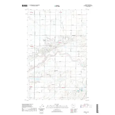
2020 Map of Lynden
USGS Topo · Published 2020About this map
Lynden serves as the central hub for this corner of Whatcom County, situated along the north bank of the Nooksack River. The town’s grid is clearly defined, stretching from W Main St and Front St toward the Lynden Municipal Airport Jansen Field. For genealogists, several burial grounds are scattered throughout the surrounding farmland, including Lynden Cem, Monumenta Cem, and Jobé Cem to the east.
Find a feature on this map
72 named features on this map. Tap any name to fly to it.
Don’t see what you’re looking for? This feature index may not catch every label — zoom into the map to look around manually.
Map Details
Editions of this 2020 Lynden Map
This is the sole edition of this map. No revisions or reprints were ever made.
Other maps of this area

1906 · Sumas
USGS Topo · 1:62,500

1907 · Blaine
USGS Topo · 1:62,500

1908 · Sumas
USGS Topo · 1:62,500

1952 · Bertrand Creek
USGS Topo · 1:24,000

1952 · Lynden
USGS Topo · 1:24,000

1952 · Lawrence
USGS Topo · 1:24,000

1952 · Sumas
USGS Topo · 1:24,000

1952 · Ferndale
USGS Topo · 1:24,000

1952 · Blaine
USGS Topo · 1:62,500

1954 · Bellingham North
USGS Topo · 1:24,000