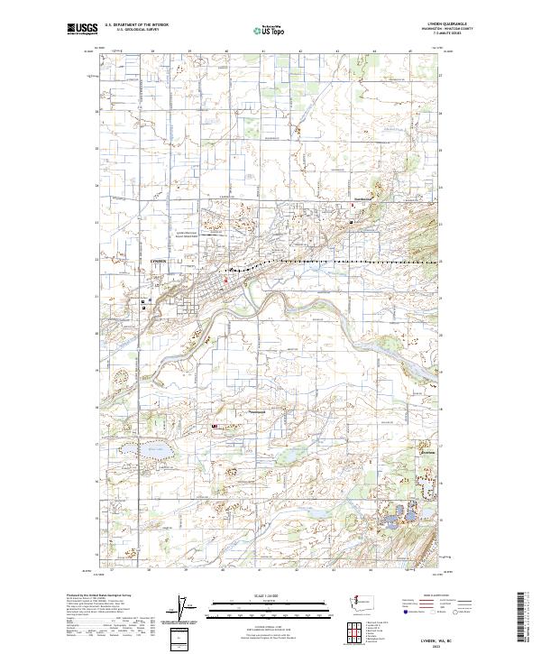
2023 Map of Lynden
USGS Topo · Published 2023About this map
Lynden serves as the primary hub of this Whatcom County landscape, where the wide corridor of the Nooksack River dictates the local geography. The surrounding agricultural lands are defined by an intricate network of drainage channels and irrigation infrastructure, including the Kamm Ditch, Mormon Ditch, and Double Ditch. This 2023 survey illustrates how water management has historically shaped the region's development, with long-established settlements like Northwood, Greenwood, and Everson connected by a rigid grid of section roads such as Guide Meridian Rd and Pangborn Rd. Local heritage is anchored by several burial grounds, including Monumenta Cem, Lynden Cem, and the family-associated Jobé Cem. To the south, a cluster of water bodies including Wiser Lake, Fountain Lake, and Green Lake marks the transition toward the drainage basin of Fourmile Creek.
Find a feature on this map
113 named features on this map. Tap any name to fly to it.
Don’t see what you’re looking for? This feature index may not catch every label — zoom into the map to look around manually.
Map Details
Editions of this 2023 Lynden Map
This is the sole edition of this map. No revisions or reprints were ever made.
Other maps of this area

1906 · Sumas
USGS Topo · 1:62,500

1907 · Blaine
USGS Topo · 1:62,500

1908 · Sumas
USGS Topo · 1:62,500

1952 · Bertrand Creek
USGS Topo · 1:24,000

1952 · Lynden
USGS Topo · 1:24,000

1952 · Lawrence
USGS Topo · 1:24,000

1952 · Sumas
USGS Topo · 1:24,000

1952 · Ferndale
USGS Topo · 1:24,000

1952 · Blaine
USGS Topo · 1:62,500

1954 · Bellingham North
USGS Topo · 1:24,000