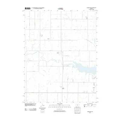
2009 Map of Lyndon NW
USGS Topo · Published 2009About this map
Dragoon Creek and Hundred and Ten Mile Creek converge in this section of Osage County, where the plains are defined by a complex network of prairie waterways. The small communities of Lyndon Station and Vassar anchor the southern portion of the sheet, reflecting the rural settlement patterns typical of eastern Kansas. Transport and aviation are centered around Pomona Lake Airport, which sits north of the winding course of Dragoon Creek.
Find a feature on this map
36 named features on this map. Tap any name to fly to it.
Don’t see what you’re looking for? This feature index may not catch every label — zoom into the map to look around manually.
Map Details
Editions of this 2009 Lyndon NW Map
This is the sole edition of this map. No revisions or reprints were ever made.
Other maps of this area

1889 · Burlingame
USGS Topo · 1:125,000

1894 · Burlingame
USGS Topo · 1:125,000

1947 · Lawrence
USGS Topo · 1:250,000

1950 · Lawrence
USGS Topo · 1:250,000

1952 · Burlingame
USGS Topo · 1:24,000

1955 · Overbrook
USGS Topo · 1:24,000

1955 · Carbondale
USGS Topo · 1:24,000

1956 · Lawrence
USGS Topo · 1:250,000

1961 · Lawrence
USGS Topo · 1:250,000
1965 · Lyndon
USGS Topo · 1:24,000