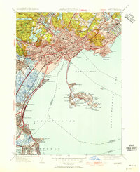
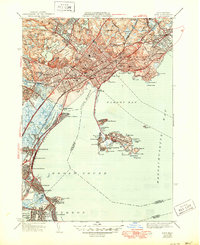
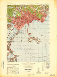
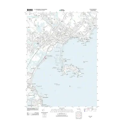
1949 Map of Lynn
USGS Topo · Published 1955About this map
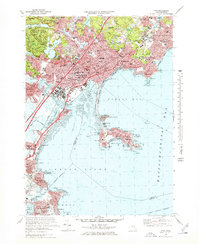
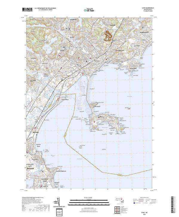
The dense coastal settlements of Lynn, Swampscott, and Winthrop dominate this mid-century survey of the North Shore. The urban landscape is defined by the heavy rail lines of the Boston and Maine and a series of expansive municipal parks, notably Lynn Woods with its chain of reservoirs including Walden Pond and Breeds Pond. To the south, the early footprint of Logan International Airport appears at the edge of Boston Harbor.
Find a feature on this map
107 named features on this map. Tap any name to fly to it.
Don’t see what you’re looking for? This feature index may not catch every label — zoom into the map to look around manually.
Map Details
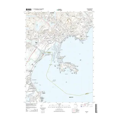
Editions of this 1949 Lynn Map
This is the sole edition of this map. No revisions or reprints were ever made.
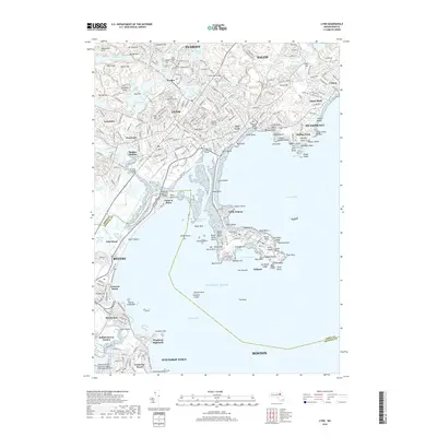
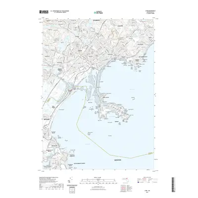
Historical Maps of Boston Through Time
15 maps found

1943 Lynn
Essex County, MA

1944 Lynn
Essex County, MA
1946 Lynn
Essex County, MA
1947 Lynn
Essex County, MA
1949 Lynn
Essex County, MA
1956 Lynn
Essex County, MA
1970 Lynn
Essex County, MA
1977 Lynn
Essex County, MA
1985 Lynn
Essex County, MA
1997 Lynn
Essex County, MA
2012 Lynn
Essex County, MA
2015 Lynn
Essex County, MA
2018 Lynn
Essex County, MA
2021 Lynn
Essex County, MA
2024 Lynn
Essex County, MA