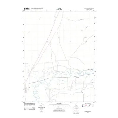
2010 Map of Lynndyl East
USGS Topo · Published 2010About this map
The Sevier River valley serves as the central artery for this portion of Millard County, defining a landscape shaped by early 21st-century irrigation and transport. The small settlements of Leamington and Lynndyl are the primary population centers, while the location of Mack sits along the rail line traversing the valley floor. Water management is the dominant human imprint on the terrain, evidenced by an extensive network of man-made waterways including the Mcintyre Canal, Leamington Canal, and the Central Utah Canal, which divert life-giving water to the arid flats.
Find a feature on this map
21 named features on this map. Tap any name to fly to it.
Don’t see what you’re looking for? This feature index may not catch every label — zoom into the map to look around manually.
Map Details
Editions of this 2010 Lynndyl East Map
This is the sole edition of this map. No revisions or reprints were ever made.
Other maps of this area

1885 · Sevier Desert
USGS Topo · 1:250,000

1951 · Oak City
USGS Topo · 1:62,500

1952 · Scipio North
USGS Topo · 1:62,500

1953 · Delta
USGS Topo · 1:250,000

1958 · Delta
USGS Topo · 1:250,000

1962 · Delta
USGS Topo · 1:250,000

1962 · Lynndyl
USGS Topo · 1:62,500

1967 · Champlin Peak
USGS Topo · 1:24,000
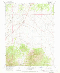
1967 · Jericho
USGS Topo · 1:24,000

1979 · Lynndyl
USGS Topo · 1:100,000