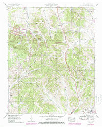
1951 Map of Lynnville
USGS Topo · Published 1988About this map
Elk Ridge serves as a prominent natural divide in this mid-century survey, separating the headwaters of numerous hollows that define the landscape of southern Middle Tennessee. The area is characterized by a high concentration of Strip Mines concentrated near Southport and Bethel Church, reflecting the mineral extraction history of the Maury Co Giles Co line. Transportation across this dissected terrain relies on historic routes like the Bee Line Highway and Mooresville Pike, connecting rural hubs such as Stiversville and Lynnville. Genealogists will find a wealth of family-named landmarks including the Chaffin Cem, Garrett Cem, and New Ramey Cem. Unique features such as Saltpeter Cave and the McKissick Sch point to the diverse rural life and geological interest of the region.
Find a feature on this map
69 named features on this map. Tap any name to fly to it.
Don’t see what you’re looking for? This feature index may not catch every label — zoom into the map to look around manually.
Map Details
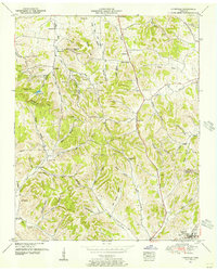
Editions of this 1951 Lynnville Map
2 editions found
Other maps of this area

1901 · Colombia
USGS Topo · 1:125,000

1936 · Sandy Hook
USGS Topo · 1:24,000

1936 · Milky Way
USGS Topo · 1:24,000

1936 · Campbellsville
USGS Topo · 1:24,000

1936 · Brick Church
USGS Topo · 1:24,000

1936 · Campbells Station
USGS Topo · 1:24,000

1936 · Mount Pleasant
USGS Topo · 1:24,000

1936 · Glendale
USGS Topo · 1:24,000

1936 · Columbia
USGS Topo · 1:24,000

1936 · Lynnville
USGS Topo · 1:24,000