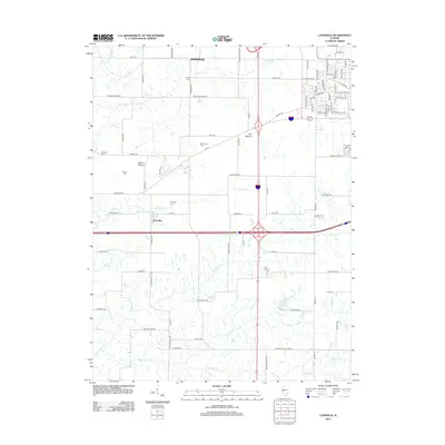
2012 Map of Lynnville
USGS Topo · Published 2012About this map
The agricultural plains of Morgan County are marked by the presence of numerous family and community burial grounds, including Liberty Cem, Richardson Cem, and Lynnville Cem. This landscape is defined by its drainage systems, where Big Sandy Cr and Brushy Fork cut through the tillable acreage, and topographic rises like The Mound and Allison Mound provide relief against the horizon. The settlement patterns reflect a shift toward modern thoroughfares while maintaining ties to the past, with the small community of Lynnville situated near the intersection of early paths and newer interstate routes.
Find a feature on this map
72 named features on this map. Tap any name to fly to it.
Don’t see what you’re looking for? This feature index may not catch every label — zoom into the map to look around manually.
Map Details
Editions of this 2012 Lynnville Map
This is the sole edition of this map. No revisions or reprints were ever made.
Other maps of this area

1924 · Winchester
USGS Topo · 1:48,000

1926 · Winchester
USGS Topo · 1:62,500

1929 · Arenzville
USGS Topo · 1:62,500

1932 · Arenzville
USGS Topo · 1:62,500

1932 · Jacksonville
USGS Topo · 1:62,500

1932 · Virginia
USGS Topo · 1:62,500

1936 · Virginia
USGS Topo · 1:62,500

1937 · Jacksonville
USGS Topo · 1:62,500

1948 · Quincy
USGS Topo · 1:250,000

1956 · Quincy
USGS Topo · 1:250,000