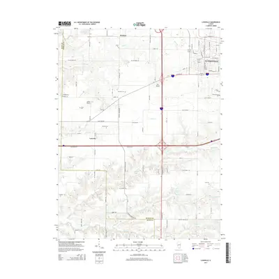
2015 Map of Lynnville
USGS Topo · Published 2015About this map
Jacksonville anchors the northeast corner of this Morgan County landscape, where the city's western residential expansion meets the rural fields of Lynnville. This 2015 survey illustrates a transition from the structured grid of city streets like W Walnut St and S Westgate Ave to the undulating terrain of the Illinois prairie. Distinctive topographic features such as The Mound and Allison Mound rise above the surrounding farmland, while a network of waterways including Big Sandy Cr, Brushy Fork, and Spoon Cr drain the southern territory toward the Scott County line. Genealogists will find a concentration of burial sites, from the large Diamond Grove Cem and Calvary Cem near the city to smaller rural plots like Richardson Cem, Liberty Cem, and Campbell Cem. The village of Lynnville itself remains a quiet hub amidst a landscape of agricultural roads and creeks.
Find a feature on this map
84 named features on this map. Tap any name to fly to it.
Don’t see what you’re looking for? This feature index may not catch every label — zoom into the map to look around manually.
Map Details
Editions of this 2015 Lynnville Map
This is the sole edition of this map. No revisions or reprints were ever made.
Other maps of this area

1924 · Winchester
USGS Topo · 1:48,000

1926 · Winchester
USGS Topo · 1:62,500

1929 · Arenzville
USGS Topo · 1:62,500

1932 · Arenzville
USGS Topo · 1:62,500

1932 · Jacksonville
USGS Topo · 1:62,500

1932 · Virginia
USGS Topo · 1:62,500

1936 · Virginia
USGS Topo · 1:62,500

1937 · Jacksonville
USGS Topo · 1:62,500

1948 · Quincy
USGS Topo · 1:250,000

1956 · Quincy
USGS Topo · 1:250,000