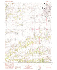
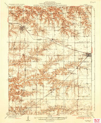
1983 Map of Lynnville
USGS Topo · Published 1983About this map
The southwestern reaches of Jacksonville anchor the northeast corner of this 1983 survey, where major institutions like the Illinois School for the Deaf and the Passavant Mem Hosp overlook the County Fairground and Duncan Park. The transition from city streets to the agricultural interior of Morgan County is marked by a network of local cemeteries, including Calvary Cem and Diamond Grove Cem, alongside the prominent heights of The Mound and Allison Mound.
Find a feature on this map
29 named features on this map. Tap any name to fly to it.
Don’t see what you’re looking for? This feature index may not catch every label — zoom into the map to look around manually.
Map Details
Editions of this 1983 Lynnville Map
This is the sole edition of this map. No revisions or reprints were ever made.
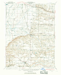
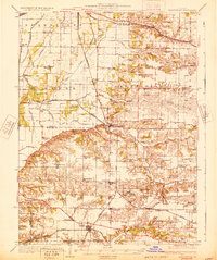
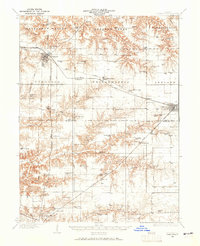
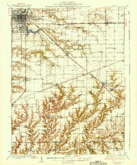
Other maps of this area

1924 · Winchester
USGS Topo · 1:48,000

1926 · Winchester
USGS Topo · 1:62,500
1929 · Arenzville
USGS Topo · 1:62,500
1932 · Arenzville
USGS Topo · 1:62,500

1932 · Jacksonville
USGS Topo · 1:62,500
1932 · Virginia
USGS Topo · 1:62,500
1936 · Virginia
USGS Topo · 1:62,500
1937 · Jacksonville
USGS Topo · 1:62,500

1948 · Quincy
USGS Topo · 1:250,000

1956 · Quincy
USGS Topo · 1:250,000