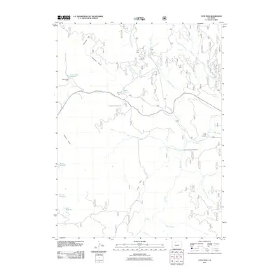
2011 Map of Lynx Pass
USGS Topo · Published 2011About this map
Lynx Pass serves as a central landmark in this high-altitude landscape within Routt County, where the topography is defined by a dense network of water management and recreation. The presence of Morris Dam and Tonier Gulch Dam indicates the area's importance for local water storage, supporting several reservoirs including Morris Reservoir and Bulkley Reservoir. A legacy of outdoor use is visible through numerous established sites like Lynx Pass Campground and Toponas Creek Campground, which are situated near prominent drainages.
Find a feature on this map
31 named features on this map. Tap any name to fly to it.
Don’t see what you’re looking for? This feature index may not catch every label — zoom into the map to look around manually.
Map Details
Editions of this 2011 Lynx Pass Map
This is the sole edition of this map. No revisions or reprints were ever made.
Other maps of this area

1954 · Craig
USGS Topo · 1:250,000

1956 · Gore Pass
USGS Topo · 1:62,500

1957 · Craig
USGS Topo · 1:250,000

1957 · Leadville
USGS Topo · 1:250,000

1958 · Craig
USGS Topo · 1:250,000

1959 · Leadville
USGS Topo · 1:250,000

1960 · Leadville
USGS Topo · 1:250,000

1960 · Craig
USGS Topo · 1:250,000

1962 · Leadville
USGS Topo · 1:250,000

1962 · Craig
USGS Topo · 1:250,000