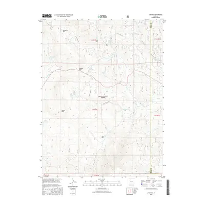
2016 Map of Lynx Pass
USGS Topo · Published 2016About this map
Routt National Forest defines the high-altitude landscape of this 2016 survey, where the border between Routt and Grand counties meets at the eastern edge. The topography is anchored by the eponymous Lynx Pass and is shaped by a dense network of drainages and small reservoirs, including Tonier Gulch Reservoir, Morris Reservoir, and Lagunita Lake. These water sources feed into numerous creeks such as Porcupine Cr and Little Rock Cr.
Find a feature on this map
35 named features on this map. Tap any name to fly to it.
Don’t see what you’re looking for? This feature index may not catch every label — zoom into the map to look around manually.
Map Details
Editions of this 2016 Lynx Pass Map
This is the sole edition of this map. No revisions or reprints were ever made.
Other maps of this area

1954 · Craig
USGS Topo · 1:250,000

1956 · Gore Pass
USGS Topo · 1:62,500

1957 · Craig
USGS Topo · 1:250,000

1957 · Leadville
USGS Topo · 1:250,000

1958 · Craig
USGS Topo · 1:250,000

1959 · Leadville
USGS Topo · 1:250,000

1960 · Leadville
USGS Topo · 1:250,000

1960 · Craig
USGS Topo · 1:250,000

1962 · Leadville
USGS Topo · 1:250,000

1962 · Craig
USGS Topo · 1:250,000