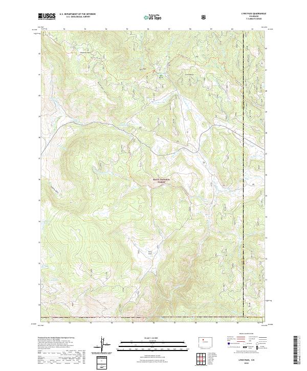
2022 Map of Lynx Pass
USGS Topo · Published 2022About this map
Lynx Pass serves as a central geographical marker within the Routt National Forest, where the high-altitude terrain of the Gore Range meets an intricate network of water management and forest trails. The landscape is defined by its complex hydrography, featuring several remote water storage sites such as Tonier Gulch Reservoir, Morris Reservoir, and Hadley Reservoir. These small reservoirs, alongside diversions like Maggie Ditch, reflect the region's historical reliance on managed water systems for mountain land use.
Find a feature on this map
38 named features on this map. Tap any name to fly to it.
Don’t see what you’re looking for? This feature index may not catch every label — zoom into the map to look around manually.
Map Details
Editions of this 2022 Lynx Pass Map
This is the sole edition of this map. No revisions or reprints were ever made.
Other maps of this area

1954 · Craig
USGS Topo · 1:250,000

1956 · Gore Pass
USGS Topo · 1:62,500

1957 · Craig
USGS Topo · 1:250,000

1957 · Leadville
USGS Topo · 1:250,000

1958 · Craig
USGS Topo · 1:250,000

1959 · Leadville
USGS Topo · 1:250,000

1960 · Leadville
USGS Topo · 1:250,000

1960 · Craig
USGS Topo · 1:250,000

1962 · Leadville
USGS Topo · 1:250,000

1962 · Craig
USGS Topo · 1:250,000