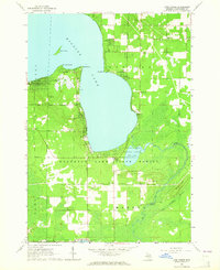
1963 Map of Lyon Manor
USGS Topo · Published 1964About this map
Higgins Lake dominates this northern Michigan landscape, where mid-century resort life and conservation efforts meet. The western shore is anchored by Lyon Manor, a dense residential pocket surrounded by the expansive Houghton Lake State Forest. The map captures several prominent peninsulas including Old Point Comfort, Detroit Point, and Flag Point, which define the lake's southern basin. Further south, the terrain transitions into the smaller Marl Lake and the marshy expanses of Long Crossway Swamp.
Find a feature on this map
27 named features on this map. Tap any name to fly to it.
Don’t see what you’re looking for? This feature index may not catch every label — zoom into the map to look around manually.
Map Details
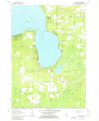
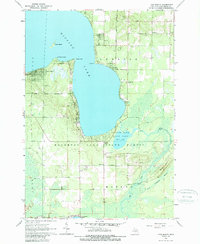
Editions of this 1963 Lyon Manor Map
3 editions found
Other maps of this area

1949 · Fletcher
USGS Topo · 1:62,500

1949 · Grayling
USGS Topo · 1:62,500

1950 · Cote Dame Marie
USGS Topo · 1:24,000

1950 · Roscommon North
USGS Topo · 1:24,000

1951 · Roscommon North
USGS Topo · 1:24,000

1951 · Pere Cheney
USGS Topo · 1:24,000

1954 · Traverse City
USGS Topo · 1:250,000

1956 · Houghton Lake
USGS Topo · 1:62,500

1958 · Traverse City
USGS Topo · 1:250,000

1963 · Roscommon South
USGS Topo · 1:24,000