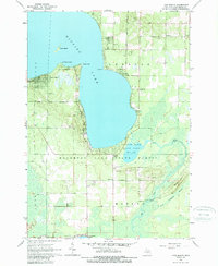
1963 Map of Lyon Manor
USGS Topo · Published 1989About this map
Higgins Lake dominates this northern Michigan landscape, with its shoreline transitioning from developed residential clusters to protected wildlands. The western shore is defined by the settlement of Lyon Manor, while the southeastern reach features the early infrastructure of Higgins Lake State Park and the distinct water body of Marl Lake. The survey details a landscape of managed woods and wetlands, including the Long Crossway Swamp and the Houghton Lake State Forest. Local civic and spiritual life is recorded through numerous small landmarks like the Townhall, Messiah Ch, and the Township Cem. The presence of scattered Gravel Pits and named points like Old Point Comfort and Detroit Point reflect the dual identity of the region as both a source of natural resources and a burgeoning destination for seasonal recreation and permanent settlement.
Find a feature on this map
28 named features on this map. Tap any name to fly to it.
Don’t see what you’re looking for? This feature index may not catch every label — zoom into the map to look around manually.
Map Details
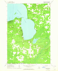
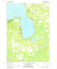
Editions of this 1963 Lyon Manor Map
3 editions found
Other maps of this area

1949 · Fletcher
USGS Topo · 1:62,500

1949 · Grayling
USGS Topo · 1:62,500

1950 · Cote Dame Marie
USGS Topo · 1:24,000

1950 · Roscommon North
USGS Topo · 1:24,000

1951 · Roscommon North
USGS Topo · 1:24,000

1951 · Pere Cheney
USGS Topo · 1:24,000

1954 · Traverse City
USGS Topo · 1:250,000

1956 · Houghton Lake
USGS Topo · 1:62,500

1958 · Traverse City
USGS Topo · 1:250,000

1963 · Roscommon South
USGS Topo · 1:24,000