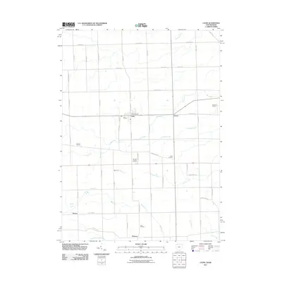
2011 Map of Lyons
USGS Topo · Published 2011About this map
Lyons sits at the intersection of N Adrian St and the State Route 120 corridor, serving as the central hub of this northern Ohio landscape. The village is well-documented with its local Lyons Post Office and the nearby Lyons Cemetery. To the east, the settlement of Seward marks a secondary concentration of activity, while Winameg and Advance occupy the southern reaches of the map.
Find a feature on this map
54 named features on this map. Tap any name to fly to it.
Don’t see what you’re looking for? This feature index may not catch every label — zoom into the map to look around manually.
Map Details
Editions of this 2011 Lyons Map
This is the sole edition of this map. No revisions or reprints were ever made.
Other maps of this area

1911 · Wauseon
USGS Topo · 1:62,500

1911 · Swanton
USGS Topo · 1:62,500

1913 · Wauseon
USGS Topo · 1:62,500

1914 · Swanton
USGS Topo · 1:62,500

1939 · Blissfield
USGS Topo · 1:62,500

1941 · Blissfield
USGS Topo · 1:62,500

1943 · Wauseon
USGS Topo · 1:62,500

1953 · Fort Wayne
USGS Topo · 1:250,000

1956 · Fort Wayne
USGS Topo · 1:250,000

1956 · Toledo
USGS Topo · 1:250,000