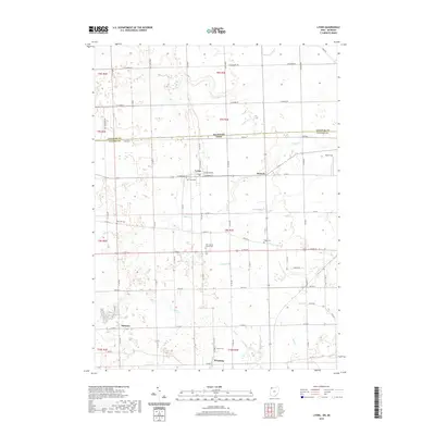
2019 Map of Lyons
USGS Topo · Published 2019About this map
The borderlands of Northwest Ohio and Southern Michigan are defined here by a systematic grid of township roads and agricultural drainage. Lyons and Seward anchor the central portion of the map, situated along the line between Lenawee and Fulton counties. This 2019 survey documents a landscape heavily influenced by its hydrology, where Bear Cr, Little Bear Cr, and Tenmile Cr wind through fields toward the larger Swan Cr and Bad Cr systems.
Find a feature on this map
44 named features on this map. Tap any name to fly to it.
Don’t see what you’re looking for? This feature index may not catch every label — zoom into the map to look around manually.
Map Details
Editions of this 2019 Lyons Map
This is the sole edition of this map. No revisions or reprints were ever made.
Other maps of this area

1911 · Wauseon
USGS Topo · 1:62,500

1911 · Swanton
USGS Topo · 1:62,500

1913 · Wauseon
USGS Topo · 1:62,500

1914 · Swanton
USGS Topo · 1:62,500

1939 · Blissfield
USGS Topo · 1:62,500

1941 · Blissfield
USGS Topo · 1:62,500

1943 · Wauseon
USGS Topo · 1:62,500

1953 · Fort Wayne
USGS Topo · 1:250,000

1956 · Fort Wayne
USGS Topo · 1:250,000

1956 · Toledo
USGS Topo · 1:250,000