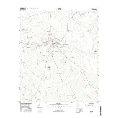
2017 Map of Lyons
USGS Topo · Published 2017About this map
Lyons serves as the central hub of this 2017 study, where the intersection of State and Victory avenues marks the heart of the community. The landscape is defined by the convergence of agricultural land and suburban growth, stretching westward toward the eastern outskirts of Vidalia. To the south, the small community of Santa Claus stands out as a distinct incorporated area surrounded by Toombs County woodland and fields.
Find a feature on this map
149 named features on this map. Tap any name to fly to it.
Don’t see what you’re looking for? This feature index may not catch every label — zoom into the map to look around manually.
Map Details
Editions of this 2017 Lyons Map
This is the sole edition of this map. No revisions or reprints were ever made.
Other maps of this area

1957 · Macon
USGS Topo · 1:250,000

1958 · Macon
USGS Topo · 1:250,000

1964 · Macon
USGS Topo · 1:250,000

1970 · Cobbtown
USGS Topo · 1:24,000

1970 · Johnson Corner
USGS Topo · 1:24,000

1970 · Alston
USGS Topo · 1:24,000

1970 · Oak Park SW
USGS Topo · 1:24,000

1970 · Vidalia
USGS Topo · 1:24,000

1970 · Ohoopee
USGS Topo · 1:24,000

1970 · Reidsville West
USGS Topo · 1:24,000