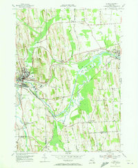
1953 Map of Lyons
USGS Topo · Published 1973About this map
Erie Canal waters dominate the central corridor of this Wayne County landscape, where the Clyde River meanders in tight oxbows alongside the industrial straight-lines of the New York Central railroad. This 1950s survey captures the region during a period of established agricultural and transit-oriented settlement, anchored by the village of Lyons and the neighboring community of Clyde. The map reveals a high density of rural infrastructure, from the Clyde-Lyons Airport and an Airway Beacon to numerous historic burial grounds like Elmwood Cem and Rural Cem. The presence of Clintons Ditch near Lock Berlin provides a direct link to the early engineering history of the New York canal system. Further south, the junction of the Canandiagua Outlet and smaller tributaries like Dublin Brook and Melvin Brook define the low-lying terrain of Galen and Junius.
Find a feature on this map
50 named features on this map. Tap any name to fly to it.
Don’t see what you’re looking for? This feature index may not catch every label — zoom into the map to look around manually.
Map Details
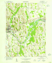
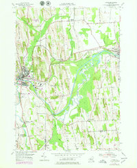
Editions of this 1953 Lyons Map
3 editions found
Other maps of this area

1899 · Palmyra
USGS Topo · 1:62,500

1902 · Geneva
USGS Topo · 1:62,500

1902 · Clyde
USGS Topo · 1:62,500

1902 · Phelps
USGS Topo · 1:62,500

1902 · Palmyra
USGS Topo · 1:62,500

1943 · Lyons
USGS Topo · 1:31,680

1943 · Geneva North
USGS Topo · 1:31,680

1943 · Phelps
USGS Topo · 1:31,680

1943 · Savannah
USGS Topo · 1:31,680

1943 · Sodus
USGS Topo · 1:31,680