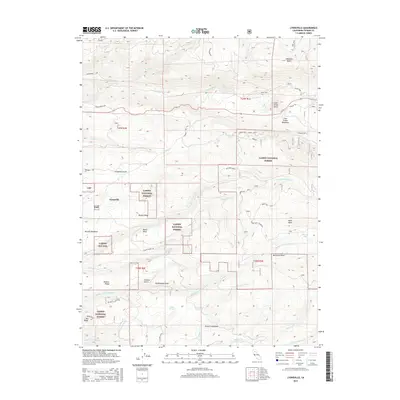
2015 Map of Lyonsville
USGS Topo · Published 2015About this map
Lyonsville sits at the heart of this high-elevation landscape, where the headwaters of numerous creeks carve through the timberlands of the Lassen National Forest. This 2015 survey reveals an intricate network of forest roads and trails, such as Ponderosa Way and the Pear Lake Loop, designed for resource management and access to lookouts like Turner Mtn Lookout. The terrain is defined by a series of volcanic features and meadows, including Hampton Butte and the wide expanse of Cold Creek Meadows.
Find a feature on this map
55 named features on this map. Tap any name to fly to it.
Don’t see what you’re looking for? This feature index may not catch every label — zoom into the map to look around manually.
Map Details
Editions of this 2015 Lyonsville Map
This is the sole edition of this map. No revisions or reprints were ever made.
Other maps of this area

1886 · Lassen Peak
USGS Topo · 1:250,000

1892 · Lassen Peak
USGS Topo · 1:250,000

1894 · Lassen Peak
USGS Topo · 1:250,000

1935 · Paynes Creek
USGS Topo · 1:96,000

1941 · Mineral
USGS Topo · 1:125,000
1953 · Panther Spring
USGS Topo · 1:62,500

1955 · Westwood
USGS Topo · 1:250,000

1956 · Lassen Peak
USGS Topo · 1:62,500

1956 · Manton
USGS Topo · 1:62,500

1958 · Westwood
USGS Topo · 1:250,000