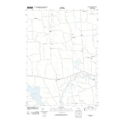
2010 Map of Lysander
USGS Topo · Published 2010About this map
The Kingdom and the surrounding hamlets of Onondaga County are defined by their proximity to the Seneca River and the historic Erie Canal corridor. In the early 21st century, this landscape remains a patchwork of agricultural lands and small crossroads settlements like Baird Corners, Little Utica, and Hortontown. The survey identifies numerous burial sites that anchor the local genealogy, including the Old Presbyterian Cemetery near Lysander and the Adams Cemetery further south.
Find a feature on this map
90 named features on this map. Tap any name to fly to it.
Don’t see what you’re looking for? This feature index may not catch every label — zoom into the map to look around manually.
Map Details
Editions of this 2010 Lysander Map
This is the sole edition of this map. No revisions or reprints were ever made.
Other maps of this area

1900 · Baldwinsville
USGS Topo · 1:62,500

1900 · Oswego
USGS Topo · 1:62,500

1900 · Fulton
USGS Topo · 1:62,500

1902 · Weedsport
USGS Topo · 1:62,500

1943 · Jordan
USGS Topo · 1:31,680

1943 · Lysander
USGS Topo · 1:31,680

1943 · Cato
USGS Topo · 1:31,680

1943 · Pennellville
USGS Topo · 1:31,680

1943 · Hannibal
USGS Topo · 1:31,680

1943 · Weedsport
USGS Topo · 1:31,680