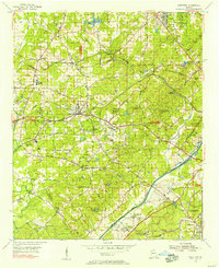
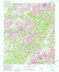
1954 Map of Mableton
USGS Topo · Published 1956About this map
The Chattahoochee River defines the southeastern border of this 1950s landscape, serving as a historic boundary between Cobb Co and Fulton Co. This period of Georgia's history is marked by the expansion of residential developments like Pebblebrook Estates and Furniture City, alongside established rail corridors of the Seaboard Air Line Railroad and Southern Railway. The presence of Cobb Airfield and the Fulton County Airport signals the region's increasing aviation significance during the post-war era.
Find a feature on this map
92 named features on this map. Tap any name to fly to it.
Don’t see what you’re looking for? This feature index may not catch every label — zoom into the map to look around manually.
Map Details
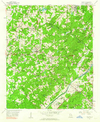
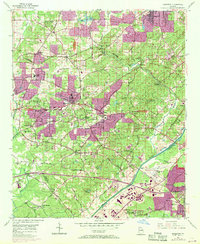
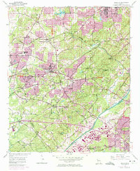
Editions of this 1954 Mableton Map
5 editions found
Other maps of this area

1888 · Atlanta
USGS Topo · 1:125,000

1890 · Atlanta
USGS Topo · 1:125,000

1891 · Marietta
USGS Topo · 1:125,000

1892 · Atlanta
USGS Topo · 1:125,000

1895 · Atlanta
USGS Topo · 1:125,000

1895 · Marietta
USGS Topo · 1:125,000

1897 · Marietta
USGS Topo · 1:125,000

1901 · Marietta
USGS Topo · 1:125,000

1953 · Atlanta
USGS Topo · 1:250,000

1954 · Campbellton
USGS Topo · 1:24,000