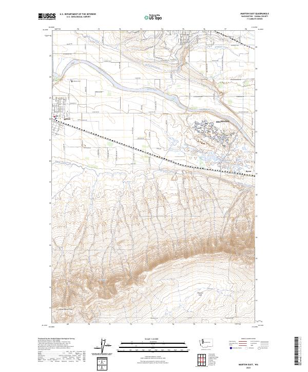
2023 Map of Mabton East
USGS Topo · Published 2023About this map
The Yakima River snakes through this irrigated landscape, marking the transition from the fertile valley floor to the rising elevations of the Horse Heaven Hills. This 2023 survey illustrates an intricate network of water management, including the Mabton West Lateral, Rocky Ford Lateral, and Mathieson Lateral, which sustain the region's agricultural character. Near the river, the Sunnyside Waterfowl Management Area and Byron Ponds provide a contrast to the geometric grid of roads and farms.
Find a feature on this map
88 named features on this map. Tap any name to fly to it.
Don’t see what you’re looking for? This feature index may not catch every label — zoom into the map to look around manually.
Map Details
Editions of this 2023 Mabton East Map
This is the sole edition of this map. No revisions or reprints were ever made.
Other maps of this area

1910 · Zillah
USGS Topo · 1:125,000

1915 · Prosser
USGS Topo · 1:125,000

1917 · Prosser
USGS Topo · 1:125,000

1950 · Yakima
USGS Topo · 1:250,000

1950 · Grandview
USGS Topo · 1:62,500

1951 · Grandview
USGS Topo · 1:62,500

1953 · Walla Walla
USGS Topo · 1:250,000

1955 · Prosser SW
USGS Topo · 1:24,000

1958 · Walla Walla
USGS Topo · 1:250,000

1958 · Yakima
USGS Topo · 1:250,000