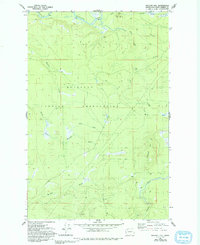
1982 Map of Macafee Hill
USGS Topo · Published 1993About this map
The Quinault Indian Reservation dominates this coastal lowland landscape, which was meticulously field checked in 1980. The terrain is defined by a dense network of watercourses, including the Quinault River in the north and the Moclips River and Copalis River to the south. These river systems are fed by numerous named tributaries such as Hall Creek, Chow Chow Creek, and Mounts Creek, illustrating the intricate drainage patterns of the Olympic Peninsula’s western slopes.
Find a feature on this map
17 named features on this map. Tap any name to fly to it.
Don’t see what you’re looking for? This feature index may not catch every label — zoom into the map to look around manually.
Map Details
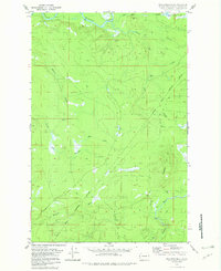
Editions of this 1982 Macafee Hill Map
2 editions found
Other maps of this area

1921 · Quinault Lake
USGS Topo · 1:62,500

1938 · Moclips
USGS Topo · 1:62,500

1941 · Moclips
USGS Topo · 1:62,500

1943 · Humptulips
USGS Topo · 1:62,500

1943 · Copalis Beach
USGS Topo · 1:250,000

1951 · Copalis Beach
USGS Topo · 1:250,000

1955 · Macafee Hill
USGS Topo · 1:62,500

1955 · Humptulips
USGS Topo · 1:62,500

1955 · Quinault Lake
USGS Topo · 1:62,500

1955 · Carlisle
USGS Topo · 1:24,000