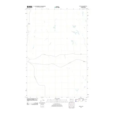
2011 Map of Macall
USGS Topo · Published 2011About this map
Emden, Macall, and Paxton anchor this sparsely settled landscape in Adams County, where the topography is defined by numerous small water bodies and seasonal basins. The presence of Old Military Rd and the John Wayne Trl suggests a transit corridor that has transitioned from early 19th-century logistics to modern recreational use. Hydrological features like Crane Lake, Sims Lake, and Horseshoe Lake are scattered across the northern portion of the quadrangle, along with Dragoon Spring, which likely served as a critical water source in this semi-arid region. The road network, including Harder RD and N Benge Ritzville Rd, connects these small settlements through a terrain marked by subtle shifts in elevation. Researchers can trace the path of McElroy Creek as it winds toward Adams Lake, reflecting the essential relationship between water and habitation in eastern Washington.
Find a feature on this map
13 named features on this map. Tap any name to fly to it.
Don’t see what you’re looking for? This feature index may not catch every label — zoom into the map to look around manually.
Map Details
Editions of this 2011 Macall Map
This is the sole edition of this map. No revisions or reprints were ever made.
Other maps of this area

1950 · La Crosse
USGS Topo · 1:62,500

1950 · Benge
USGS Topo · 1:62,500

1952 · La Crosse
USGS Topo · 1:62,500

1952 · Benge
USGS Topo · 1:62,500

1953 · Walla Walla
USGS Topo · 1:250,000

1953 · Ritzville
USGS Topo · 1:250,000

1955 · Pullman
USGS Topo · 1:250,000

1955 · Spokane
USGS Topo · 1:250,000

1958 · Spokane
USGS Topo · 1:250,000

1958 · Pullman
USGS Topo · 1:250,000