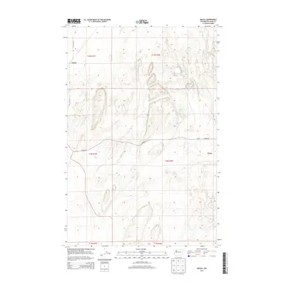
2013 Map of Macall
USGS Topo · Published 2013About this map
Emden and the nearby agricultural settlements of Macall and Paxton anchor this portion of Adams County, where the landscape is defined by the channeled scablands of Washington. This 2013 survey illustrates the distinct topographical depressions common to this region, frequently filled by small water bodies like Adams Lake, Sims Lake, and Horseshoe Lake. The drainage of Mcelroy Cr cuts through the northeastern corner, while the historic route of Old Military Rd traces a path through the western edge of the quadrangle. The map captures a moment in the modern era where the rectilinear patterns of township and range boundaries, such as t19n r38e, intersect with the irregular natural formations of the coulees and rocky terrain. This juxtaposition reveals the enduring influence of the land's geology on the placement of rural roads like Harder Rd and the sparse human footprint in this interior region.
Find a feature on this map
16 named features on this map. Tap any name to fly to it.
Don’t see what you’re looking for? This feature index may not catch every label — zoom into the map to look around manually.
Map Details
Editions of this 2013 Macall Map
This is the sole edition of this map. No revisions or reprints were ever made.
Other maps of this area

1950 · La Crosse
USGS Topo · 1:62,500

1950 · Benge
USGS Topo · 1:62,500

1952 · La Crosse
USGS Topo · 1:62,500

1952 · Benge
USGS Topo · 1:62,500

1953 · Walla Walla
USGS Topo · 1:250,000

1953 · Ritzville
USGS Topo · 1:250,000

1955 · Pullman
USGS Topo · 1:250,000

1955 · Spokane
USGS Topo · 1:250,000

1958 · Spokane
USGS Topo · 1:250,000

1958 · Pullman
USGS Topo · 1:250,000