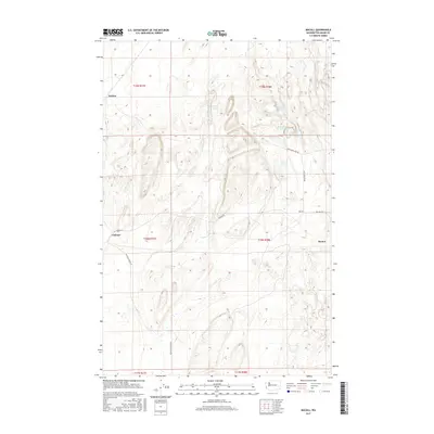
2017 Map of Macall
USGS Topo · Published 2017About this map
Macall and the surrounding coulees of eastern Washington appear here as a landscape of isolated rail-side settlements and basalt-carved depressions. The map records a series of small, named locations including Emden, Carlmar, and Paxton, which sit along the established transport corridors through this section of Adams County. The terrain is defined by the distinctive Channeled Scablands topography, where water-filled basins like Adams Lake, Horseshoe Lake, and Crane Lake are clustered among the dry plateaus.
Find a feature on this map
20 named features on this map. Tap any name to fly to it.
Don’t see what you’re looking for? This feature index may not catch every label — zoom into the map to look around manually.
Map Details
Editions of this 2017 Macall Map
This is the sole edition of this map. No revisions or reprints were ever made.
Other maps of this area

1950 · La Crosse
USGS Topo · 1:62,500

1950 · Benge
USGS Topo · 1:62,500

1952 · La Crosse
USGS Topo · 1:62,500

1952 · Benge
USGS Topo · 1:62,500

1953 · Walla Walla
USGS Topo · 1:250,000

1953 · Ritzville
USGS Topo · 1:250,000

1955 · Pullman
USGS Topo · 1:250,000

1955 · Spokane
USGS Topo · 1:250,000

1958 · Spokane
USGS Topo · 1:250,000

1958 · Pullman
USGS Topo · 1:250,000