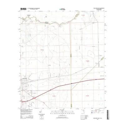
2015 Map of Macclenny East
USGS Topo · Published 2015About this map
Macclenny serves as the primary urban center in this 2015 survey, situated just south of the winding The Big Bend of Saint Marys River. The landscape is defined by the prominent Trail Ridge formation, which cuts through the center of the sheet, influencing the local drainage patterns of the S Prong Saint Marys River and numerous smaller water bodies like Worley Lake and Shaw Lake. This area at the Florida-Georgia border demonstrates a mix of residential expansion and timber or utility corridors, evidenced by named thoroughfares such as Rayonier Rd and Power Line Rd. Modern infrastructure like SR 121 and SR 228 connects the outlying rural reaches to the town center, while natural features like Turkey Cr and Brandy Branch delineate the low-lying terrain of the Baker and Duval county line.
Find a feature on this map
62 named features on this map. Tap any name to fly to it.
Don’t see what you’re looking for? This feature index may not catch every label — zoom into the map to look around manually.
Map Details
Editions of this 2015 Macclenny East Map
This is the sole edition of this map. No revisions or reprints were ever made.
Other maps of this area

1917 · Cambon
USGS Topo · 1:62,500

1917 · Macclenny
USGS Topo · 1:62,500

1918 · Middleburg
USGS Topo · 1:62,500

1918 · Lawtey
USGS Topo · 1:62,500

1918 · Cambon
USGS Topo · 1:62,500

1918 · Macclenny
USGS Topo · 1:62,500

1941 · Middleburg
USGS Topo · 1:62,500

1948 · Jacksonville
USGS Topo · 1:250,000

1949 · Fiftone
USGS Topo · 1:24,000
1949 · Middleburg
USGS Topo · 1:62,500