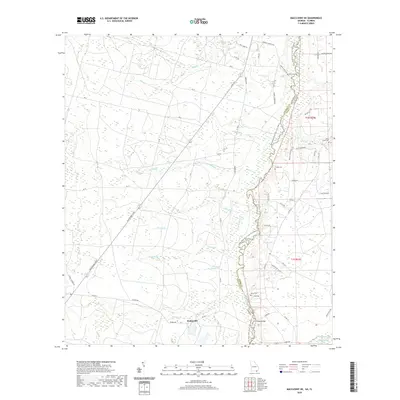
2020 Map of Macclenny NE
USGS Topo · Published 2020About this map
Stokesville sits at the heart of this coastal plain landscape, where the border between Charlton County, Georgia, and Nassau County, Florida, is defined by the winding course of the Saint Marys River. The area is characterized by a dense network of blackwater drainage systems, including Mims Cr, Saucer Br, and School Br, which feed into the primary river channel. This terrain is notably punctuated by the Schoolhouse Bay and the extensive Brandy Branch Swamp to the southeast, reflecting a region deeply tied to its natural hydrology.
Find a feature on this map
61 named features on this map. Tap any name to fly to it.
Don’t see what you’re looking for? This feature index may not catch every label — zoom into the map to look around manually.
Map Details
Editions of this 2020 Macclenny NE Map
This is the sole edition of this map. No revisions or reprints were ever made.
Other maps of this area

1917 · Cambon
USGS Topo · 1:62,500

1917 · Macclenny
USGS Topo · 1:62,500

1917 · Hilliard
USGS Topo · 1:62,500

1918 · Moniac
USGS Topo · 1:62,500

1918 · Cambon
USGS Topo · 1:62,500

1918 · Macclenny
USGS Topo · 1:62,500

1919 · Hilliard
USGS Topo · 1:62,500

1942 · Moniac
USGS Topo · 1:62,500

1948 · Jacksonville
USGS Topo · 1:250,000

1954 · Valdosta
USGS Topo · 1:250,000