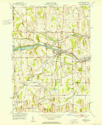
1951 Map of Macedon
USGS Topo · Published 1952About this map
Ganargua Creek and the Erie Canal (Abandoned) corridor define the central geography of this early 1950s survey. The landscape is characterized by a dense network of district schools, including School No 9, School No 5, and the Tannery Sch, reflecting the local educational infrastructure of the period. Transport and commerce are centered on the New York Central RR and the village of Macedon, where Lock No 30 remains a prominent landmark of the canal era.
Find a feature on this map
47 named features on this map. Tap any name to fly to it.
Don’t see what you’re looking for? This feature index may not catch every label — zoom into the map to look around manually.
Map Details
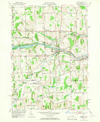
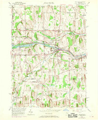
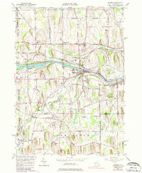
Editions of this 1951 Macedon Map
4 editions found
Other maps of this area

1899 · Palmyra
USGS Topo · 1:62,500

1900 · Macedon
USGS Topo · 1:62,500

1900 · Canandaigua
USGS Topo · 1:62,500

1902 · Phelps
USGS Topo · 1:62,500

1902 · Palmyra
USGS Topo · 1:62,500

1903 · Canandaigua
USGS Topo · 1:62,500

1932 · Webster
USGS Topo · 1:24,000

1932 · Fairport
USGS Topo · 1:24,000

1934 · Fairport
USGS Topo · 1:24,000

1934 · Webster
USGS Topo · 1:24,000