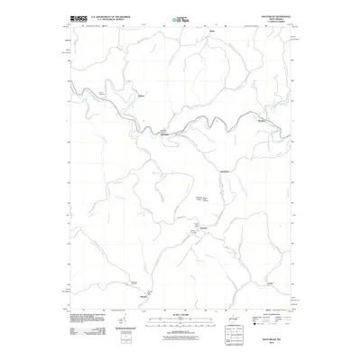
2010 Map of MacFarlan
USGS Topo · Published 2010About this map
The South Fork Hughes River meanders sharply through this Ritchie County landscape, anchoring small settlements like Macfarlan and Beatrice. Life in these hills centers around the winding valley roads and creek beds, with local postal services concentrated at the Macfarlan Post Office and further south at Brohard and Munday. The geographic distribution of family sites is evident in landmarks like the Nutter Cemetery, Hartley Cemetery, and Wolverton Cemetery, which are tucked away near drainage points like Bear Run and Straight Creek.
Find a feature on this map
64 named features on this map. Tap any name to fly to it.
Don’t see what you’re looking for? This feature index may not catch every label — zoom into the map to look around manually.
Map Details
Editions of this 2010 MacFarlan Map
This is the sole edition of this map. No revisions or reprints were ever made.
Other maps of this area

1906 · Elizabeth
USGS Topo · 1:62,500

1907 · Harrisville
USGS Topo · 1:62,500

1907 · Arnoldsburg
USGS Topo · 1:62,500

1907 · Spencer
USGS Topo · 1:62,500

1924 · Harrisville
USGS Topo · 1:62,500

1924 · Elizabeth
USGS Topo · 1:62,500

1925 · Arnoldsburg
USGS Topo · 1:62,500

1926 · Elizabeth
USGS Topo · 1:62,500

1926 · Harrisville
USGS Topo · 1:62,500

1927 · Arnoldsburg
USGS Topo · 1:62,500