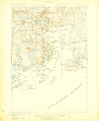
1918 Map of Machias
USGS Topo · Published 1918About this map
Machias River and East Machias River converge at the head of a complex coastal network, where the timber and maritime economies of Downeast Maine centered during the early twentieth century. This survey documents the infrastructure of the Maine Central Railroad as it served Machiasport Station and the various coastal landings. The coastal geography is defined by deep incisions like Little Kennebec Bay and Holmes Bay, where isolated communities such as Starboard and Larrabee maintained a tenuous connection to the larger hubs of Machias and East Machias. Notable landmarks of regional safety and defense, including the Cross Island L S S lifesaving station and Fort O'Brien Point, stand at the entrance to Machias Bay. The map also captures smaller social nodes like the Holmes Bay Church and the seasonal character of Sylvan Park.
Find a feature on this map
127 named features on this map. Tap any name to fly to it.
Don’t see what you’re looking for? This feature index may not catch every label — zoom into the map to look around manually.
Map Details
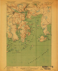
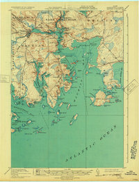
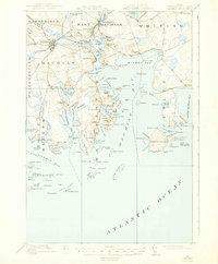
Editions of this 1918 Machias Map
5 editions found
Other maps of this area

1907 · Eastport
USGS Topo · 1:48,000

1908 · Eastport
USGS Topo · 1:62,500

1917 · Cutler
USGS Topo · 1:62,500

1918 · Machias
USGS Topo · 1:62,500

1918 · Cutler
USGS Topo · 1:62,500

1921 · Great Wass Island
USGS Topo · 1:62,500

1921 · Columbia Falls
USGS Topo · 1:62,500

1941 · Columbia Falls
USGS Topo · 1:62,500

1941 · Machias
USGS Topo · 1:62,500

1941 · Wesley
USGS Topo · 1:62,500