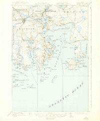
1918 Map of Machias
USGS Topo · Published 1943About this map
Machias River and the neighboring coastal inlets define this Down East landscape during the late First World War era. The maritime and industrial character of the region is evident in the transition from inland river settlements to coastal harbors. The Maine Central railroad connects the interior towns of Machias and East Machias, with a branch leading to the Machiasport Station and the deep-water access of Machiasport.
Find a feature on this map
200 named features on this map. Tap any name to fly to it.
Don’t see what you’re looking for? This feature index may not catch every label — zoom into the map to look around manually.
Map Details
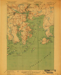
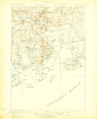
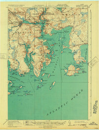
Editions of this 1918 Machias Map
5 editions found
Other maps of this area

1907 · Eastport
USGS Topo · 1:48,000

1908 · Eastport
USGS Topo · 1:62,500

1917 · Cutler
USGS Topo · 1:62,500

1918 · Machias
USGS Topo · 1:62,500

1918 · Cutler
USGS Topo · 1:62,500

1921 · Great Wass Island
USGS Topo · 1:62,500

1921 · Columbia Falls
USGS Topo · 1:62,500

1941 · Columbia Falls
USGS Topo · 1:62,500

1941 · Machias
USGS Topo · 1:62,500

1941 · Wesley
USGS Topo · 1:62,500