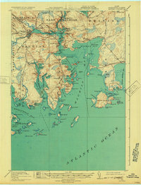
1918 Map of Machias
USGS Topo · Published 1932About this map
Machias and East Machias serve as the industrial anchors of this coastal landscape, where the Maine Central RR connects inland timber and trade to the rugged Atlantic shoreline. The rail line follows the Machias River, passing through Machiasport Station and the curiously named settlement of Dog Town before reaching the coast. Navigational and defensive history is evident at Fort O'Brien Point and the Gross Island L S S life-saving station, marking the entrance to Machias Bay.
Find a feature on this map
146 named features on this map. Tap any name to fly to it.
Don’t see what you’re looking for? This feature index may not catch every label — zoom into the map to look around manually.
Map Details
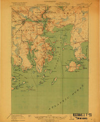
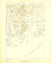
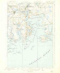
Editions of this 1918 Machias Map
5 editions found
Other maps of this area

1907 · Eastport
USGS Topo · 1:48,000

1908 · Eastport
USGS Topo · 1:62,500

1917 · Cutler
USGS Topo · 1:62,500

1918 · Machias
USGS Topo · 1:62,500

1918 · Cutler
USGS Topo · 1:62,500

1921 · Great Wass Island
USGS Topo · 1:62,500

1921 · Columbia Falls
USGS Topo · 1:62,500

1941 · Columbia Falls
USGS Topo · 1:62,500

1941 · Machias
USGS Topo · 1:62,500

1941 · Wesley
USGS Topo · 1:62,500