
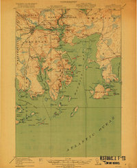
1918 Map of Machias
USGS Topo · Published 1918About this map
Machias and its surrounding coastal townships are centered on the tidal convergence of the Machias River and East Machias River in this 1917 survey. The region's timber and maritime heritage is evident in the layout of the Maine Central Railroad, which connects the inland settlement of Whitneyville to the coastal hub at Machiasport Station. The map captures a complex shoreline of protected coves and islands, including the small neighborhood of Dog Town and the defensive site at Fort O'Brien Point.
Find a feature on this map
143 named features on this map. Tap any name to fly to it.
Don’t see what you’re looking for? This feature index may not catch every label — zoom into the map to look around manually.
Map Details
Editions of this 1918 Machias Map
5 editions found
Other maps of this area

1907 · Eastport
USGS Topo · 1:48,000

1908 · Eastport
USGS Topo · 1:62,500

1917 · Cutler
USGS Topo · 1:62,500

1918 · Cutler
USGS Topo · 1:62,500

1921 · Great Wass Island
USGS Topo · 1:62,500

1921 · Columbia Falls
USGS Topo · 1:62,500

1941 · Columbia Falls
USGS Topo · 1:62,500

1941 · Machias
USGS Topo · 1:62,500

1941 · Wesley
USGS Topo · 1:62,500

1941 · Gardner Lake
USGS Topo · 1:62,500