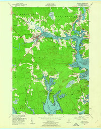
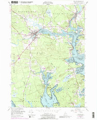
1949 Map of Machias
USGS Topo · Published 1962About this map
The coastal town of Machias serves as the focal point of this coastal Washington County landscape, where the confluence of the Machias River and Middle River meets the tide. The settlement pattern in the late 1940s reveals a community deeply tied to its waterways and educational heritage, anchored by the Washington State Normal School and the coastal clusters at Machiasport Station and East Machias. Moving south toward the Atlantic, the terrain transitions into the jagged peninsulas of Machias Bay and Little Kennebec Bay, dotted with family-named points like Fort O'Brien Pt and Randall Point.
Find a feature on this map
106 named features on this map. Tap any name to fly to it.
Don’t see what you’re looking for? This feature index may not catch every label — zoom into the map to look around manually.
Map Details
Editions of this 1949 Machias Map
5 editions found
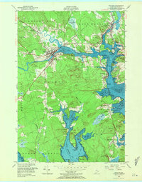
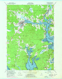
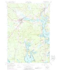
Other maps of this area

1918 · Machias
USGS Topo · 1:62,500

1921 · Columbia Falls
USGS Topo · 1:62,500

1941 · Columbia Falls
USGS Topo · 1:62,500

1941 · Machias
USGS Topo · 1:62,500

1941 · Wesley
USGS Topo · 1:62,500

1941 · Gardner Lake
USGS Topo · 1:62,500

1942 · Columbia Falls
USGS Topo · 1:62,500

1943 · Wesley
USGS Topo · 1:62,500

1943 · Gardner Lake
USGS Topo · 1:62,500

1948 · Jonesport
USGS Topo · 1:24,000