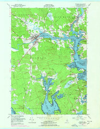
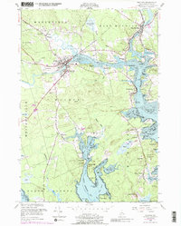
1949 Map of Machias
USGS Topo · Published 1978About this map
The Machias River and East Machias River converge toward the coast, shaping the commercial and academic character of this Downeast Maine region in the late 1940s. The town of Machias serves as a central hub, anchored by the Washington State Normal School and the Maine Central Railroad corridor. Along the riverbanks, smaller communities like Hoyttown and East Machias reflect the traditional settlement patterns of Washington County, while the Machias Valley Airport shows mid-century infrastructure growth.
Find a feature on this map
95 named features on this map. Tap any name to fly to it.
Don’t see what you’re looking for? This feature index may not catch every label — zoom into the map to look around manually.
Map Details
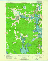
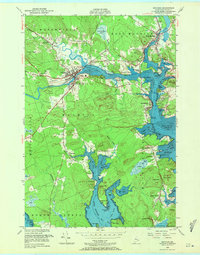
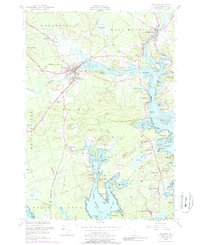
Editions of this 1949 Machias Map
5 editions found
Other maps of this area

1918 · Machias
USGS Topo · 1:62,500

1921 · Columbia Falls
USGS Topo · 1:62,500

1941 · Columbia Falls
USGS Topo · 1:62,500

1941 · Machias
USGS Topo · 1:62,500

1941 · Wesley
USGS Topo · 1:62,500

1941 · Gardner Lake
USGS Topo · 1:62,500

1942 · Columbia Falls
USGS Topo · 1:62,500

1943 · Wesley
USGS Topo · 1:62,500

1943 · Gardner Lake
USGS Topo · 1:62,500

1948 · Jonesport
USGS Topo · 1:24,000