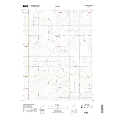
2018 Map of Macksburg
USGS Topo · Published 2018About this map
Macksburg sits at the center of this rural Madison County landscape, where the headwaters of the Thompson River and several tributary creeks carve through the agricultural uplands. The area is defined by a dense network of country roads, including Co Rd G61 and Madison-Union St, that follow the section lines and ridgelines.
Find a feature on this map
39 named features on this map. Tap any name to fly to it.
Don’t see what you’re looking for? This feature index may not catch every label — zoom into the map to look around manually.
Map Details
Editions of this 2018 Macksburg Map
This is the sole edition of this map. No revisions or reprints were ever made.
Other maps of this area
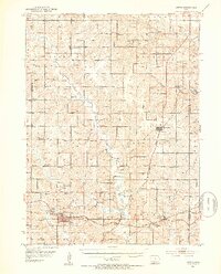
1951 · Afton
USGS Topo · 1:62,500
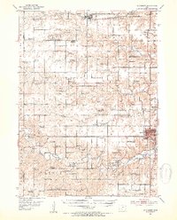
1952 · Winterset
USGS Topo · 1:62,500
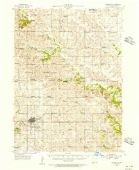
1954 · Greenfield
USGS Topo · 1:62,500

1954 · Omaha
USGS Topo · 1:250,000
1957 · Omaha
USGS Topo · 1:250,000
1958 · Omaha
USGS Topo · 1:250,000
1980 · Creston East
USGS Topo · 1:24,000
1981 · Zion
USGS Topo · 1:24,000
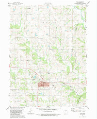
1983 · Afton
USGS Topo · 1:24,000
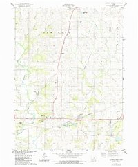
1983 · Lorimor South
USGS Topo · 1:24,000